A winter ascent of Ben More
As the highest point on the Isle of Mull, and Scotland’s only Munro that is accessible only by boat, a walk up Ben More is often on the ‘to do’ list for visitors to the island.
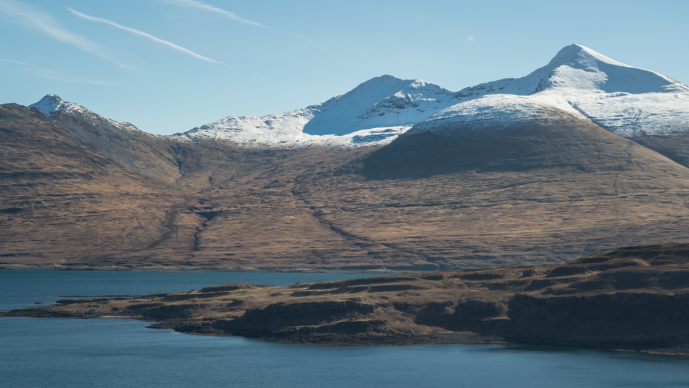
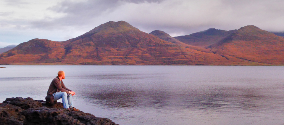
Looking across Loch na Keal and Eorsa at Ben More on Mull
At 966 meters in height, Ben More towers over the island’s other hills. Not only do you get a stunning, 360-degree view, but you also get the acute sense of altitude that this sort of elevation creates. With no neighbouring mountains of comparable height, Ben More really does feel like the highest point around!
The simplest route to the summit starts on the shore of Loch na Keal at Dhiseig. From here a marked path leads up the broad flank of the hill to the circular summit cairn. Simple. To experience our island Munro at its most dramatic though, arguably the best route is a circular traverse of Beinn Fhada to A’Chioch and then along the ridge to Ben More. This route involves some scrambling (see the map below). Let’s take a look at this route as it was on a fine winter’s day!
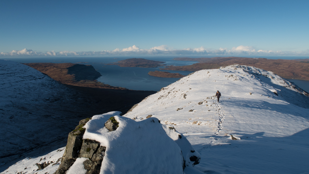
Walking along the Bheinn Fhada ridge with Gribun and Ulva in the distance
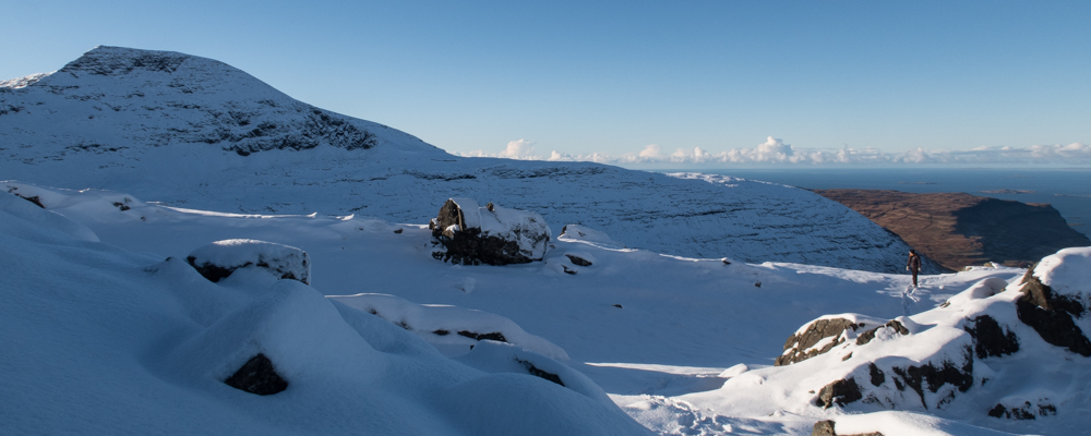
Hiker walking through snow drifts with the north face of Ben More in the distance
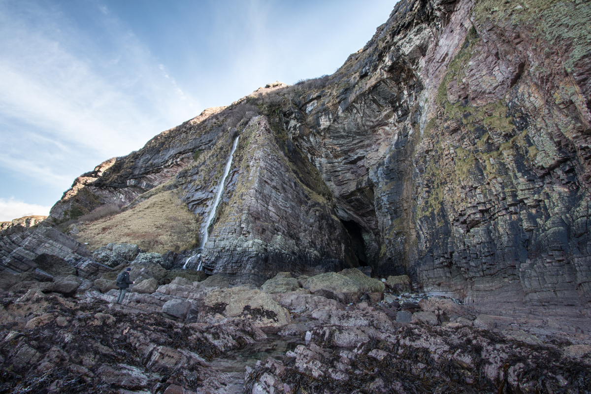
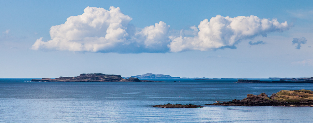
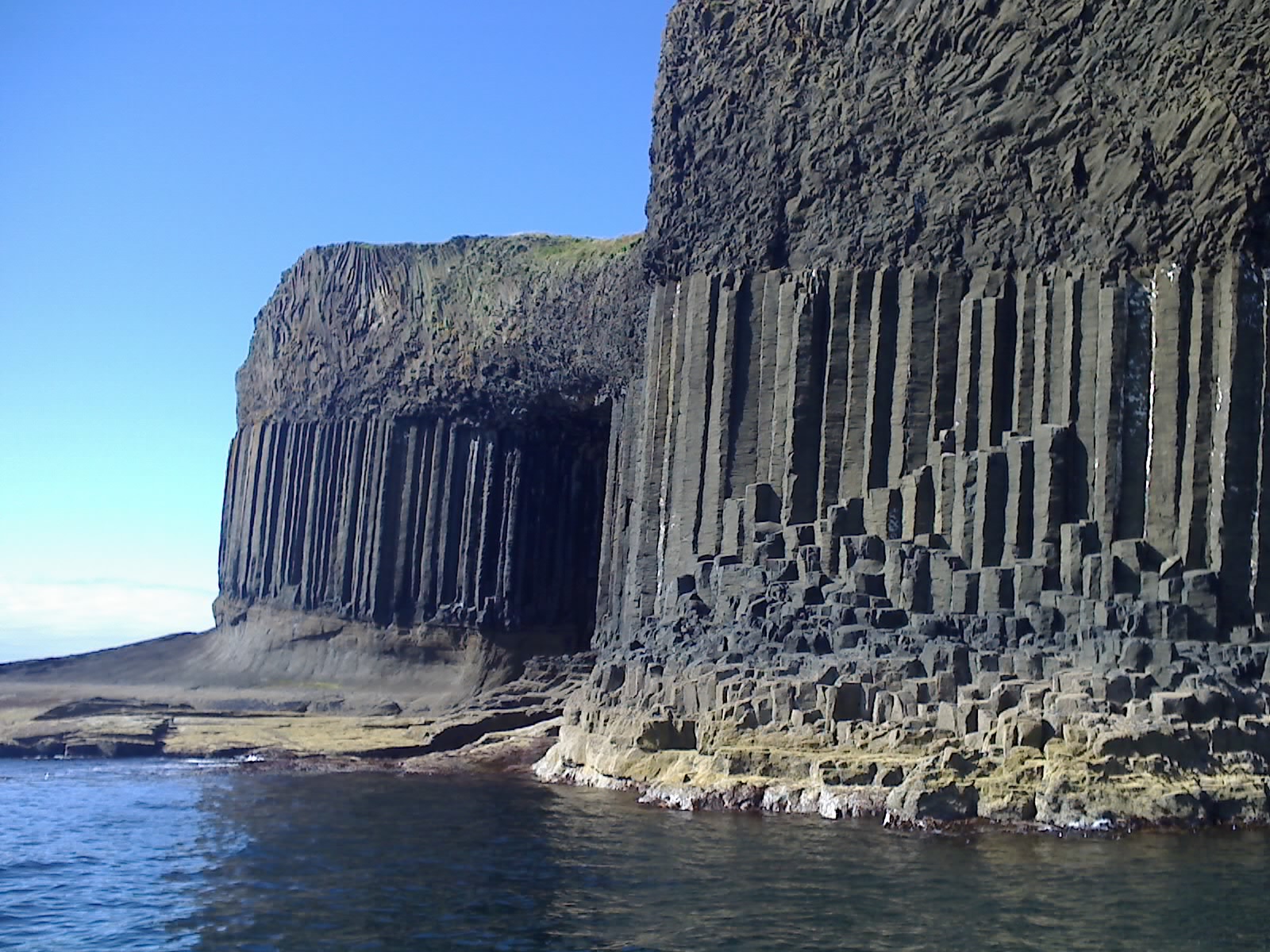
Having parked the car off the road along the shore of Loch na Keal, we began the walk by following the burn (Abhainn na h-Uamha), which has a series of spectacular waterfalls along its course. Feeling lucky that we had chosen such a clear, crisp day, we then headed uphill to crest the ridge of Beinn Fhada. At this point the views are just incredible. Looking back you can see the curve of the Gribun cliffs, the islands of Ulva and Eorsa, Staffa, and the Treshnish Isles. Up ahead, Ben More and the ridge look really inviting.
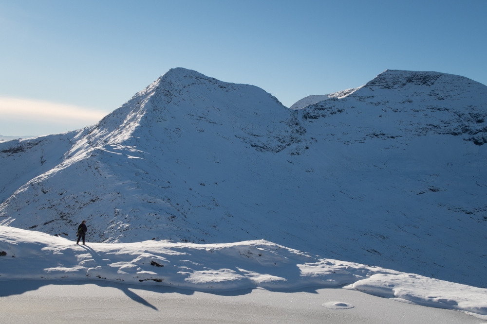
Frozen lochan on Beinn Fhada with walker surveying the scene
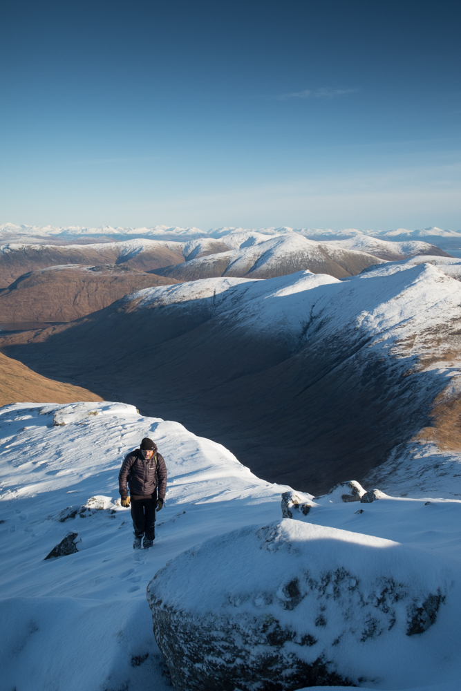
Climbing A’Chioch with Glen Clachaig below and to the right
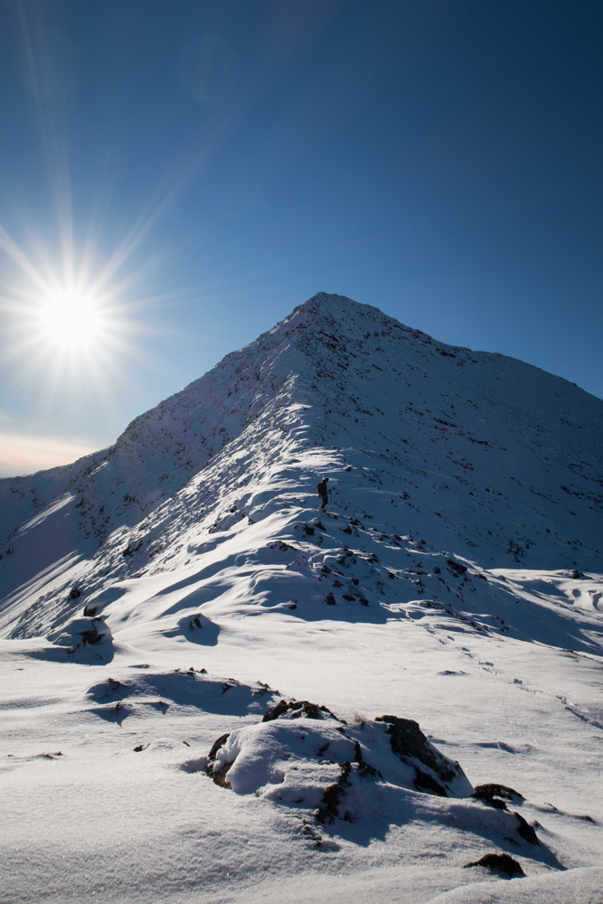
Winter sun blazing as a walker climbs the A’Chioch ridge on Mull
After a short sharp climb to the summit of Beinn Fhada (702m), with jelly babies providing the extra fuel we needed, we headed west and began the climb of A’Chioch (867m). The views here are superb, and picking our way up towards the summit through snow drifts was great fun! We were lucky that the winds weren’t strong at this point, so we were able to enjoy settled conditions and sunshine.
The final traverse over the ridge to Ben More was relatively straightforward, though the final section involves some scrambling. Just at the point where your legs are starting to ask for a rest, the ridge narrows to just a few meters wide and has significant drops on both sides, which help sharpen the senses!
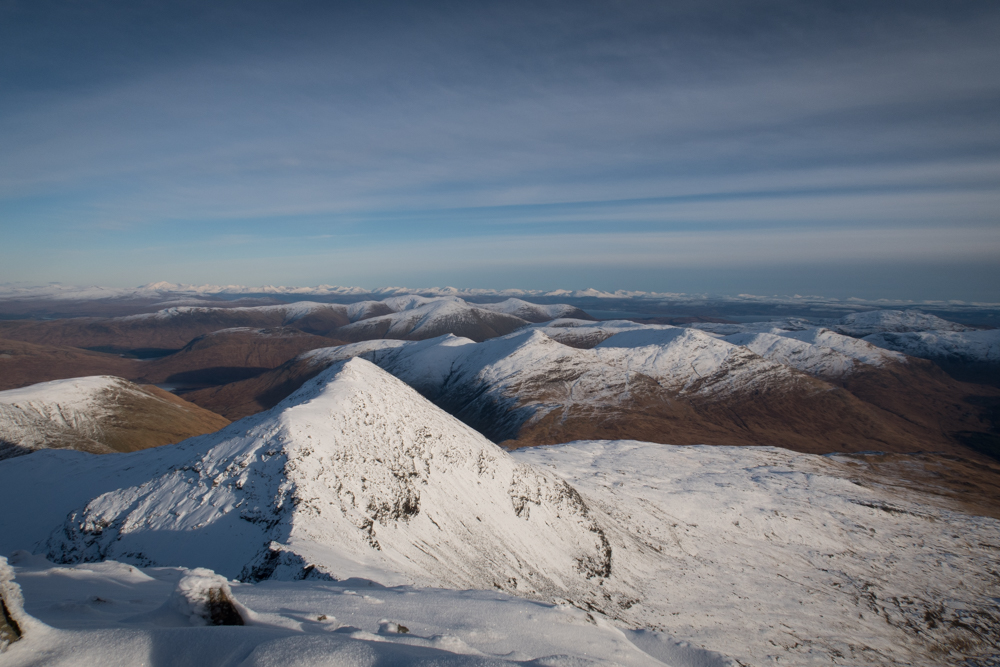
Looking west over the Isle of Mull with the mainland mountains visible in the distance
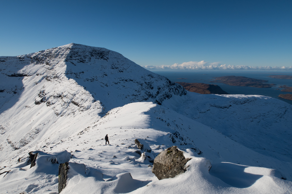
Surveying the way ahead to the summit of Ben More
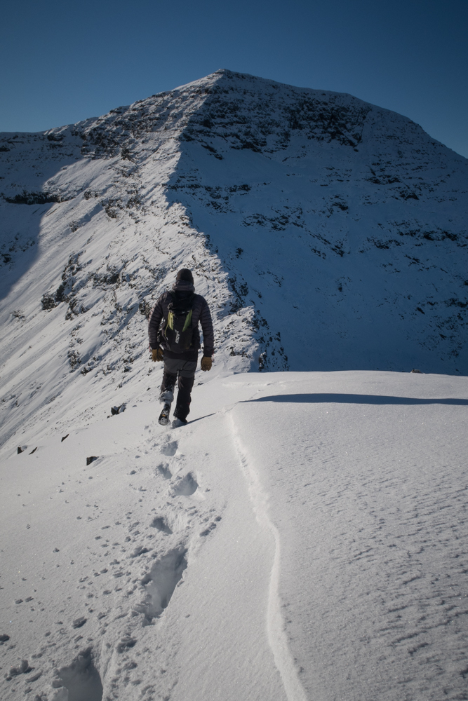
Starting to traverse the Ben More ridge
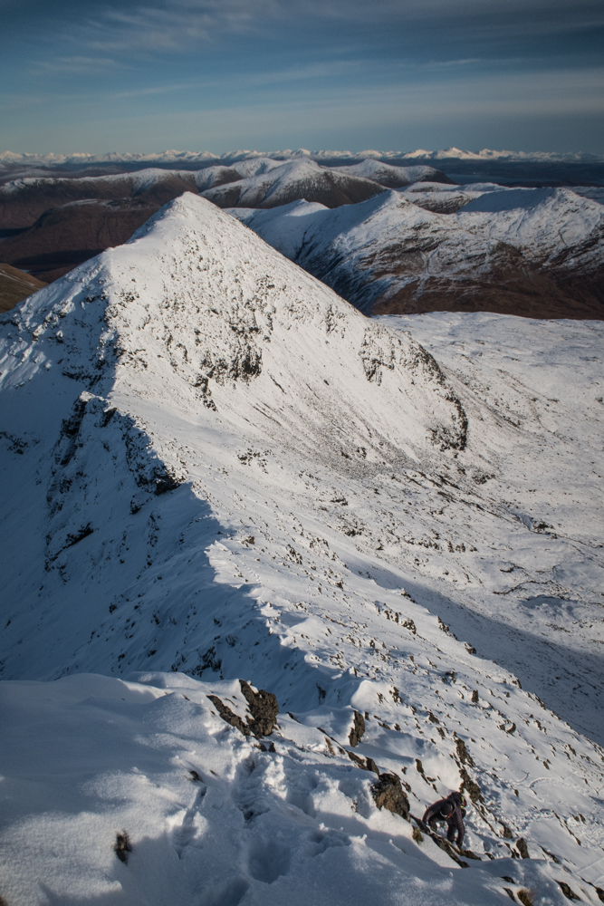
Looking back along the ridge to A’Chioch
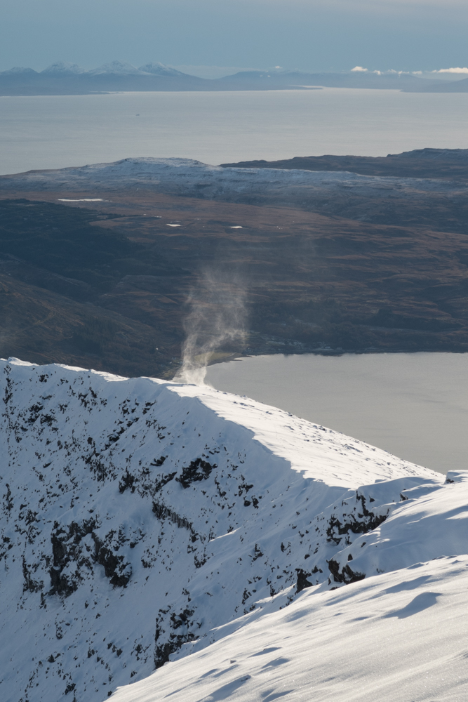
Wind swirls snow into the air on Ben More
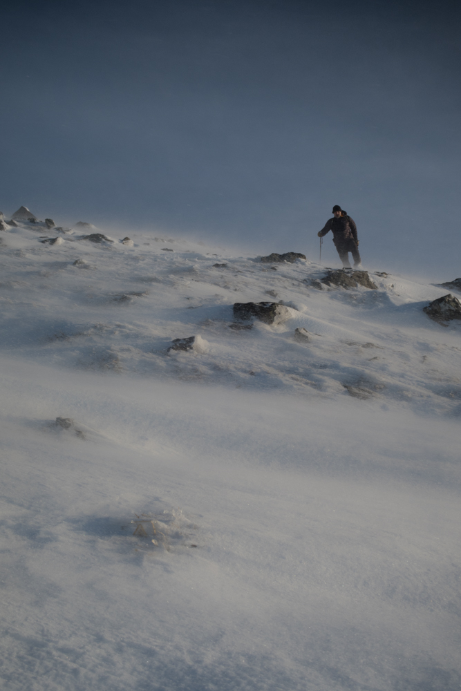
Beginning the descent
From the summit of Ben More we followed the line of cairns that descend the hill back towards Loch na Keal. After the rugged drama of the east face of the hill, this side seems very rounded and gentle, and the walking easy. The wind picked up at this point for us, blowing ice around and creating some spectacular conditions:

Ice and snow blows across the hill during the descent
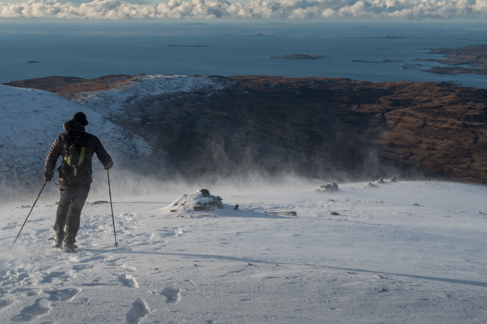
Following the cairns with the Treshnish Isles in the distance
We finished the walk feeling battered but not broken. No matter which time of year or by which route you choose to climb Ben More, it is always a memorable experience and well worth the effort.
www.isleofmullcottages.com/isle-of-mull-walking.html
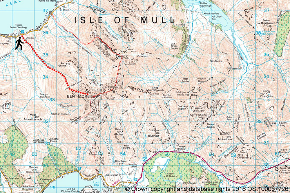
Ben More OS map route
Note: Hill walking has inherent risks and dangers. Conditions change quickly and navigation can be difficult. Always make sure you are well prepared for any conditions and have the correct level of experience for your chosen route.
